Flora of the Turnbull National Wildlife Refuge |
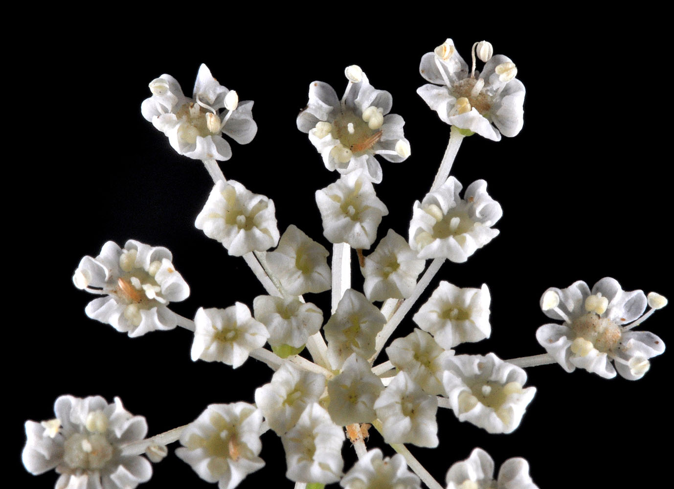
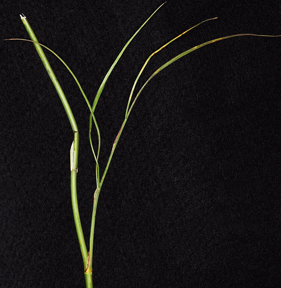
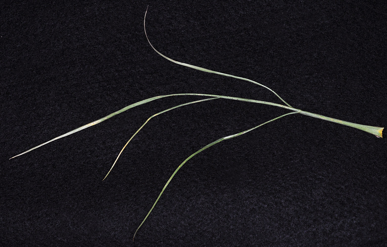
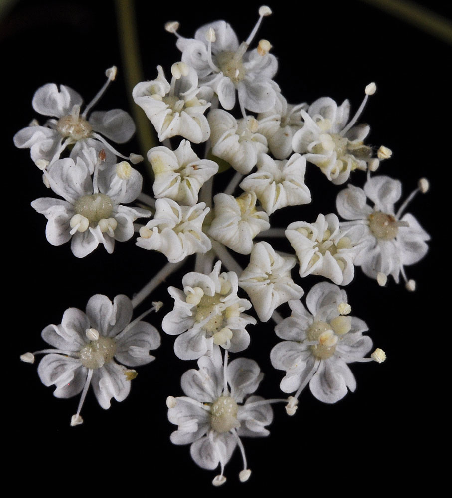
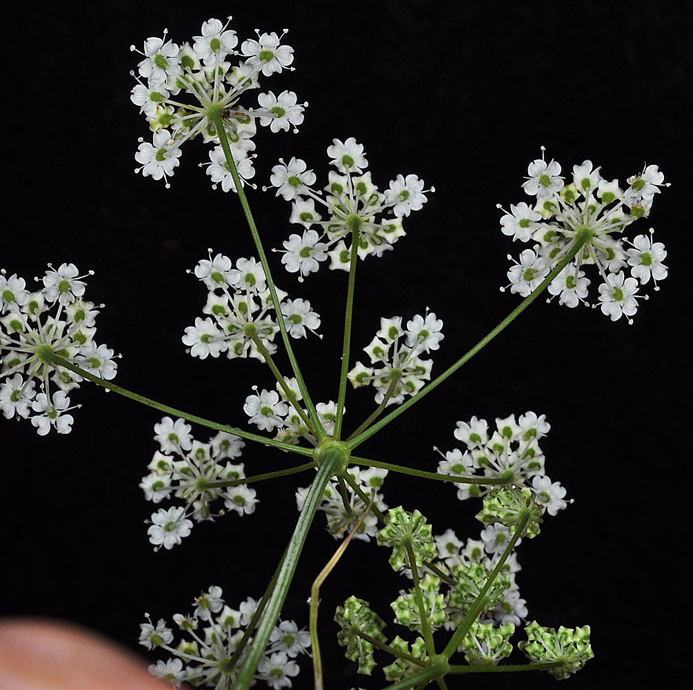
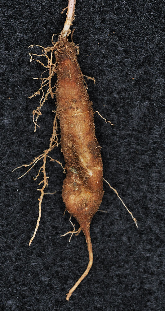
| Perideridia gairdneri |
|
|
||
| ssp. borealis | Chuang & Constance | Apiaceae; Native |
| SYNONYMS |
Atenia montana (Blank.) Rydb.
Carum gairdneri (Hook. & Arn.) Mathias
Carum garrettii A. Nelson ex Coult. & Rose
Carum montanum Blank.
Perideridia gairdneri (Hook. & Arn.) Mathias var. montana (Blank.) B. Boivin
Perideridia montana (Blank.) Dorn |
Unless otherwise noted the images are those of ©Robert L. Carr . Click on any image to load an enlargement
| Back to Main Page | Family Index | Genus Index |
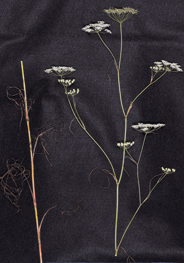
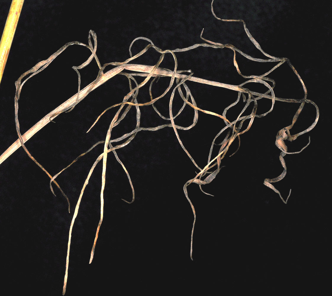
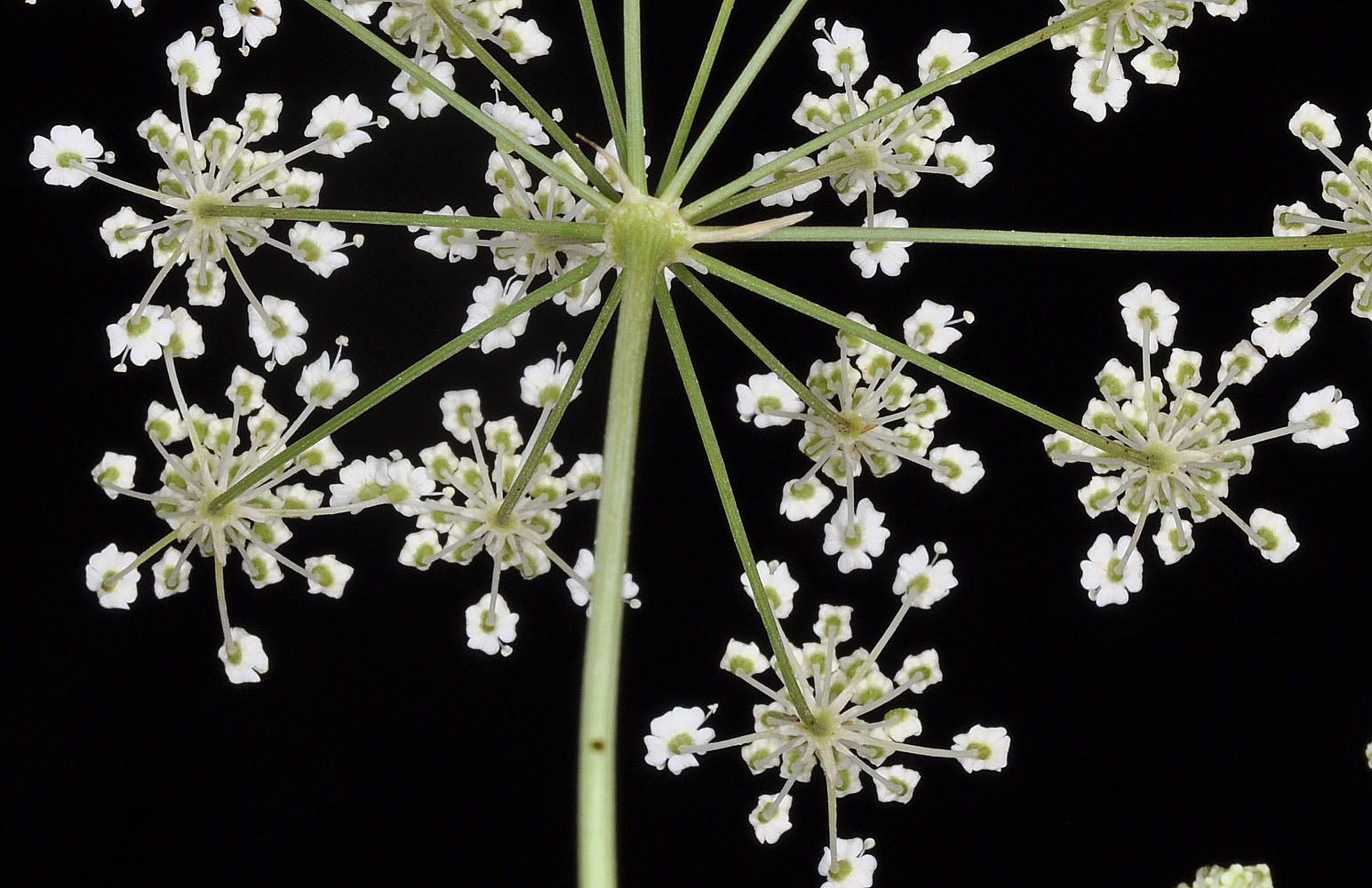
| W of Cheney, WA along Ritchey Rd ca. 0.3 mi N of Hwy 904; N 47.45443 W 117.71507- Spokane Co. - 7/23/2010 | W of Cheney, WA along Ritchey Rd ca. 0.3 mi N of Hwy 904; N 47.45443 W 117.71507- Spokane Co. - 7/23/2010 | W of Cheney, WA along Ritchey Rd ca. 0.3 mi N of Hwy 904; N 47.45443 W 117.71507- Spokane Co. - 7/23/2010 | W of Cheney, WA along Ritchey Rd ca. 0.3 mi N of Hwy 904; N 47.45443 W 117.71507- Spokane Co. - 7/23/2010 |
|
|
|
|
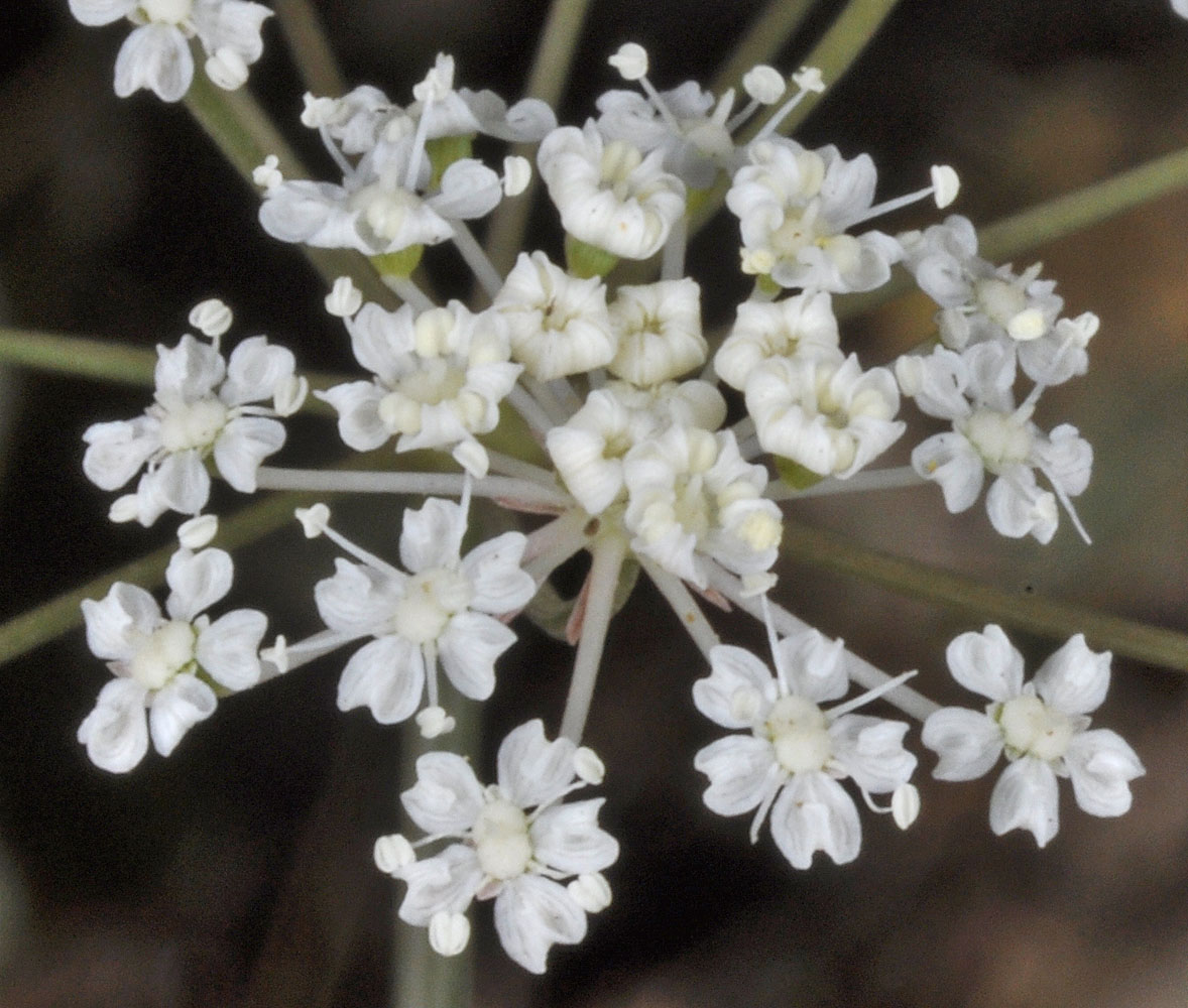
| W of Cheney, WA along Ritchey Rd ca. 0.3 mi N of Hwy 904; N 47.45443 W 117.71507- Spokane Co. - 7/23/2010 | W of Cheney, WA along Ritchey Rd ca. 0.3 mi N of Hwy 904; N 47.45443 W 117.71507- Spokane Co. - 7/23/2010 | ||
 |
 |
| W of Cheney, WA along Ritchey Rd ca. 0.3 mi N of Hwy 904; N 47.45443 W 117.71507- Spokane Co. - 7/23/2010 | W of Cheney, WA along Ritchey Rd ca. 0.3 mi N of Hwy 904; N 47.45443 W 117.71507- Spokane Co. - 7/23/2010 | W of Cheney, WA along Ritchey Rd ca. 0.3 mi N of Hwy 904; N 47.45443 W 117.71507- Spokane Co. - 7/23/2010 | |
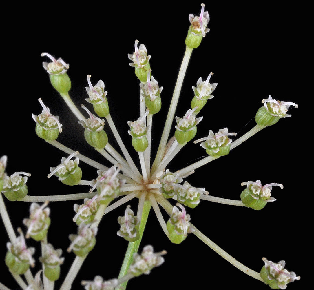 |
 |
 |
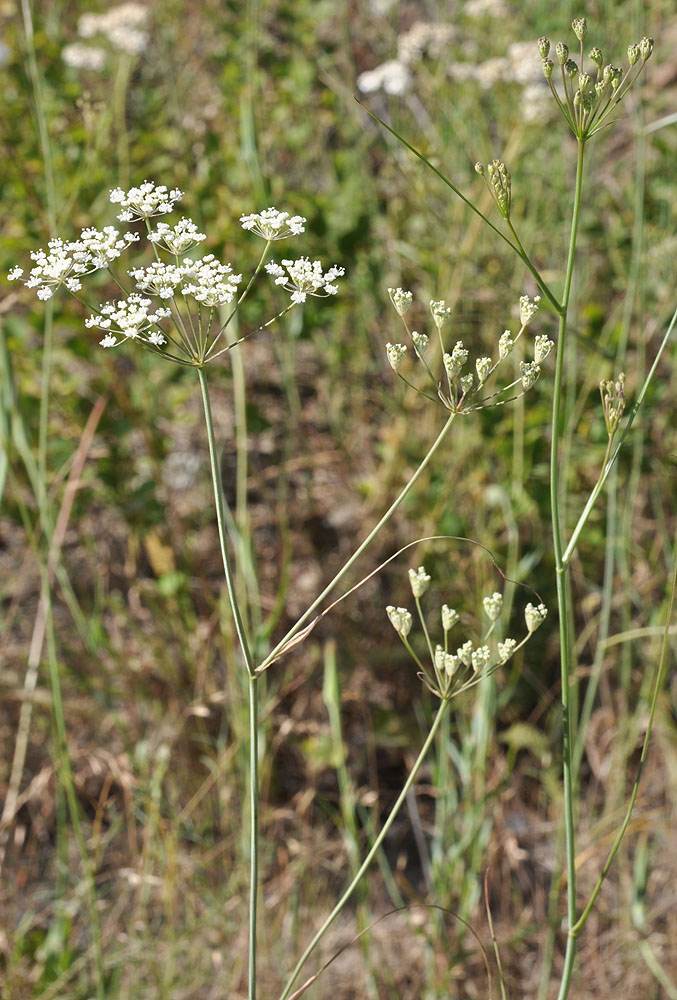
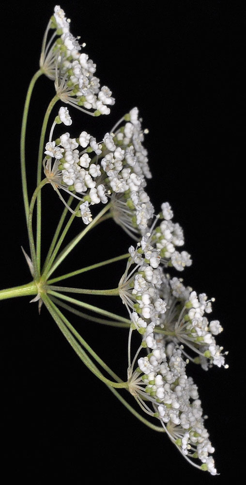
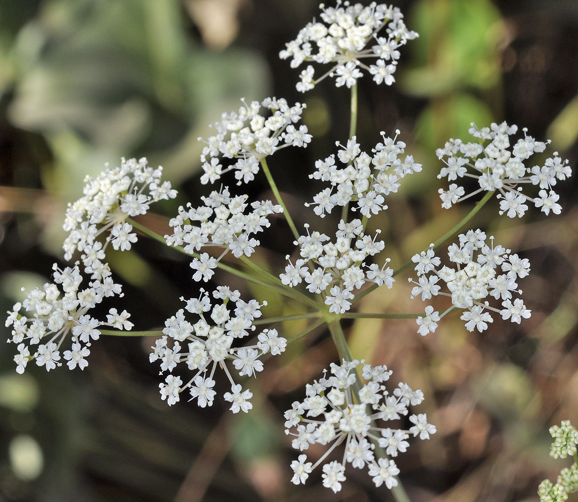
| W of Cheney, WA along Ritchey Rd ca. 0.3 mi N of Hwy 904; N 47.45443 W 117.71507- Spokane Co. - 7/23/2010 | W of Cheney, WA along Ritchey Rd ca. 0.3 mi N of Hwy 904; N 47.45443 W 117.71507- Spokane Co. - 7/23/2010 | Along the Pomeroy-Grouse Flat Rd ca. 0.47 air mi E of Mt Misery Campground; N 46.12023 W 117.47431; Asotin Co., WA; 7/31/2013 | |
 |
 |
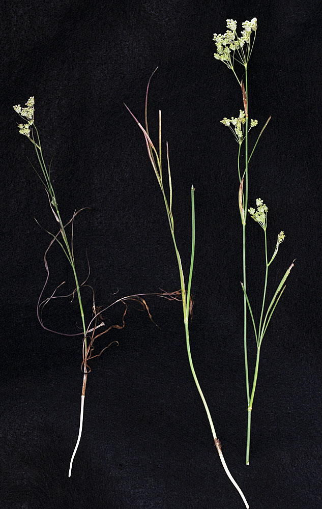 |
| Along the Pomeroy-Grouse Flat Rd ca. 0.47 air mi E of Mt Misery Campground; N 46.12023 W 117.47431; Asotin Co., WA; 7/31/2013 | Along the Pomeroy-Grouse Flat Rd ca. 0.47 air mi E of Mt Misery Campground; N 46.12023 W 117.47431; Asotin Co., WA; 7/31/2013 | Along the Pomeroy-Grouse Flat Rd ca. 0.47 air mi E of Mt Misery Campground; N 46.12023 W 117.47431; Asotin Co., WA; 7/31/2013 | |
 |
 |
 |
.